State-wise Annual Tractor Sales Mapping
Overview
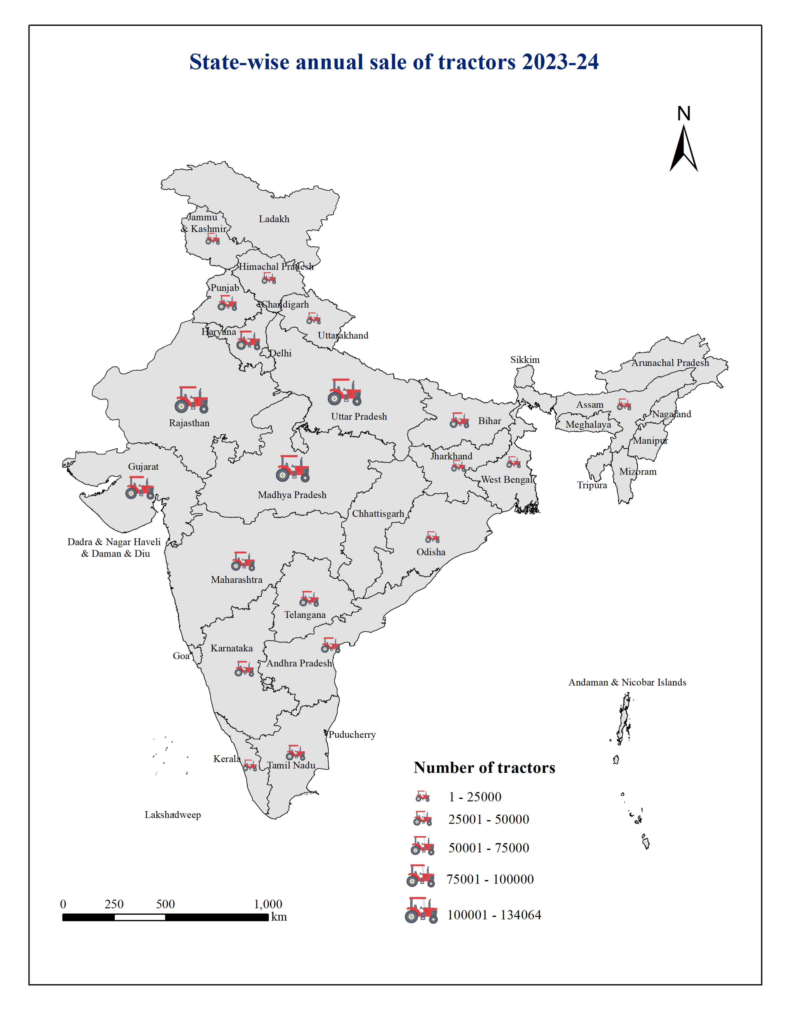
Created a thematic map to visualize state-wise tractor sales across India using proportional symbols and spatial analysis techniques. The project highlights regional patterns of agricultural mechanization and supports comparative analysis of farming development.
Study Area: India
Duration: Personal Learning Project (2025)
Role: Solo project
Status: Completed
Methods & Tools
Data Sources
- Agricultural Machinery Statistics
- India State Boundary
Tools Used
- ArcMap
- Excel
Key Findings
- Visualized state-wise tractor sales.
- Highlighted agricultural mechanization trends.
- Compared regional variations across India.