Explore Delhi – ArcGIS StoryMap
Overview
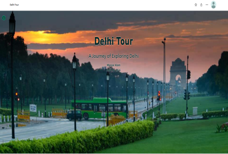
Created an interactive StoryMap showcasing important locations, historical landmarks, and geographic information about Delhi using ArcGIS StoryMaps. The project combines maps, multimedia, and narrative content to enhance user engagement.
Study Area: Delhi India
Duration: Personal Learning Project (2025)
Role: Solo project
Status: Completed
Methods & Tools
Data Sources
- ArcGIS Living Atlas
- OpenStreetMap
- Esri Basemaps
Tools Used
- ArcGIS StoryMaps
- ArcGIS Online
Key Findings
- Integrated interactive maps with multimedia content.
- Improved visualization of cultural and historical locations.
- Demonstrated effective geospatial storytelling techniques.