Normalized Difference Vegetation Index (NDVI) Mapping
Overview
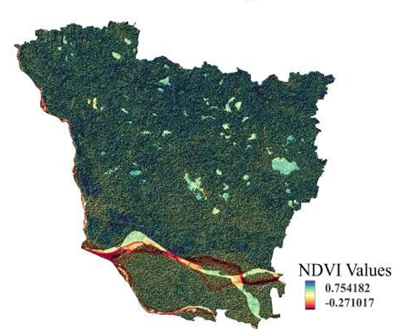
Computed the Normalized Difference Vegetation Index (NDVI) from satellite imagery to assess vegetation health, density, and spatial distribution across the study area. The resulting map identifies healthy and stressed vegetation, supporting agricultural monitoring and environmental assessment.
Study Area: Vaishali, Bihar
Duration: Personal Learning Project (2024)
Role: Solo project
Status: Completed
Methods & Tools
Data Sources
- Sentinel-2 (Copernicus)
- DEM
Tools Used
- GEE
- ArcMap
Key Findings
- Assessed vegetation health.
- Identified stressed and healthy vegetation.
- Supported agricultural monitoring.