Land Surface Temperature (LST) Mapping
Overview
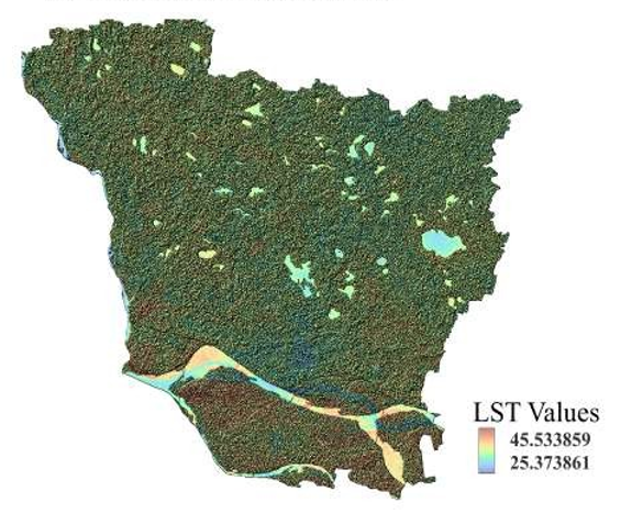
Derived Land Surface Temperature (LST) from thermal satellite imagery to analyze the spatial variation of surface temperatures within the study area. The map helps identify temperature hotspots and supports studies related to urban heat islands, climate monitoring, and environmental.
Study Area: Vaishali, Bihar
Duration: Personal Learning Project (2025)
Role: Solo project
Status: Completed
Methods & Tools
Data Sources
- Landsat 8 (Thermal Band)
- DEM (SRTM)
Tools Used
- GEE
- ArcMap
Key Findings
- Generated land surface temperature maps.
- Identified thermal hotspots.
- Supported environmental assessment