Georeferencing and Digitization
Overview
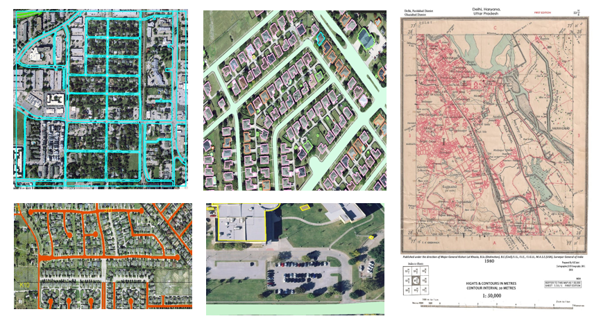
Performed georeferencing of scanned maps using ground control points and digitized key geographic features into vector datasets. The project produced spatially accurate layers suitable for GIS analysis and mapping applications.
Study Area: Delhi + Global
Duration: Personal Learning Project (2022)
Role: Solo project
Status: Completed
Methods & Tools
Data Sources
- Cadastral Map
Tools Used
- Arcmap
Key Findings
- Produced spatially accurate vector datasets.
- Improved map usability through digitization.
- Created GIS-ready spatial layers.