False Color Composite (FCC) Generation
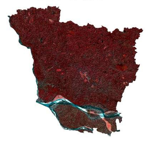
Overview
Generated a False Color Composite (FCC) using multispectral satellite imagery to enhance the visualization of vegetation, water bodies, and built-up areas. The FCC improves feature discrimination and serves as a foundation for land cover interpretation and remote sensing analysis.
Study Area: Vaishali, Bihar
Duration: Personal Learning Project (2025)
Role: Solo project
Status: Completed
Methods & Tools
Data Sources
- Sentinel-2 (Copernicus)
- DEM (SRTM)
Tools Used
- GEE
- ArcMap
Key Findings
- Enhanced visualization of vegetation and water bodies.
- Improved land cover interpretation.
- Supported image classification workflows.