Drone-Based Crop Health Monitoring
Overview
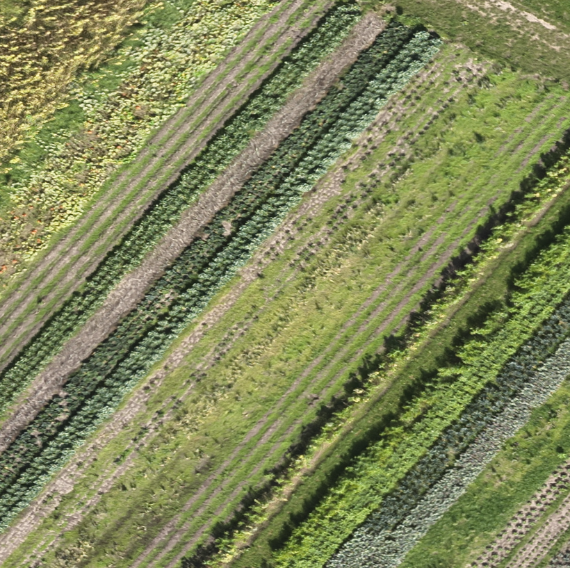
Processed UAV imagery to assess crop health using vegetation indices and generate high-resolution orthomosaics for agricultural monitoring.
Study Area: Netherland
Duration: Personal Learning Project (2024)
Role: Solo project
Status: Completed
Methods & Tools
Data Sources
- UAV RGB/Multispectral Imagery
- Ground Control Points (GCPs)
- Field Observations
Tools Used
- Pix4Dmapper
- QGIS
- Python
Key Findings
- Generated high-resolution orthomosaics and DSMs.
- Assessed crop health using vegetation indices.
- Supported precision agriculture and field monitoring.