Day 6. The British Isles: An Illustrated Geographical Portrait
Overview
- Theme: Vintage
- Project type: Vintage-style geographical and thematic mapping
- Study area: United Kingdom and Ireland
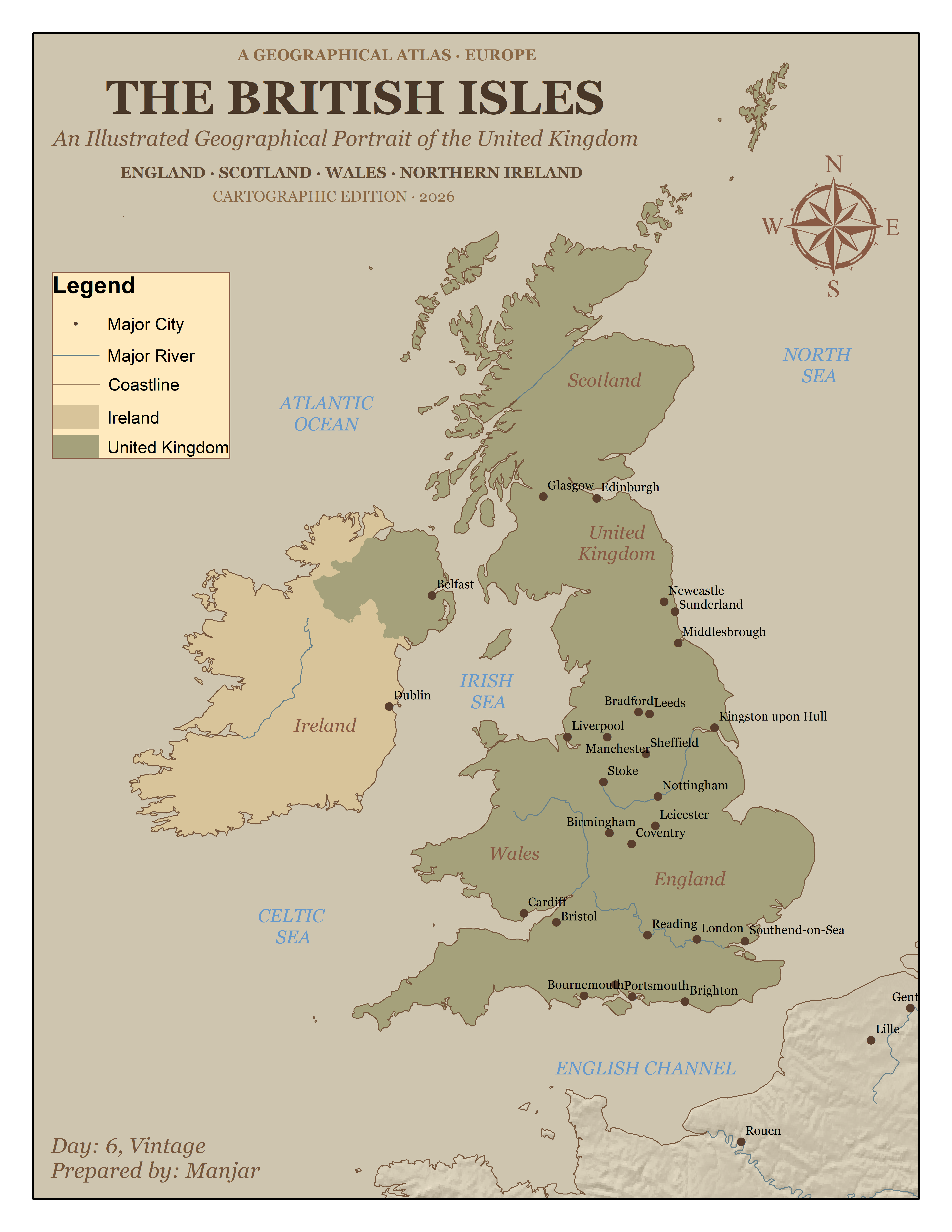
This project presents the British Isles through a vintage atlas-inspired cartographic design. The map combines country boundaries, coastlines, major rivers, and selected cities to illustrate the geographical characteristics of the region. Using muted earthy tones, parchment-style backgrounds, serif typography, and traditional cartographic elements, the map recreates the visual appearance of an antique geographical atlas.
Data & Tools
Data Sources
Tools Used
- ArcGIS Desktop (ArcMap 10.4)
- Natural Earth vector datasets
- Cartographic design and layout techniques
Key takeaways
- The map illustrates the geographical relationship between the United Kingdom and Ireland through country boundaries, coastlines, rivers, and major cities.
- Vintage-inspired symbology, muted colour palettes, and traditional typography recreate the appearance of historical atlas maps.
- The project demonstrates how cartographic styling and visual hierarchy can transform contemporary geographical datasets into an antique-inspired map presentation.